Navigation
Install the app
How to install the app on iOS
Follow along with the video below to see how to install our site as a web app on your home screen.
Note: This feature may not be available in some browsers.
More options
You are using an out of date browser. It may not display this or other websites correctly.
You should upgrade or use an alternative browser.
You should upgrade or use an alternative browser.
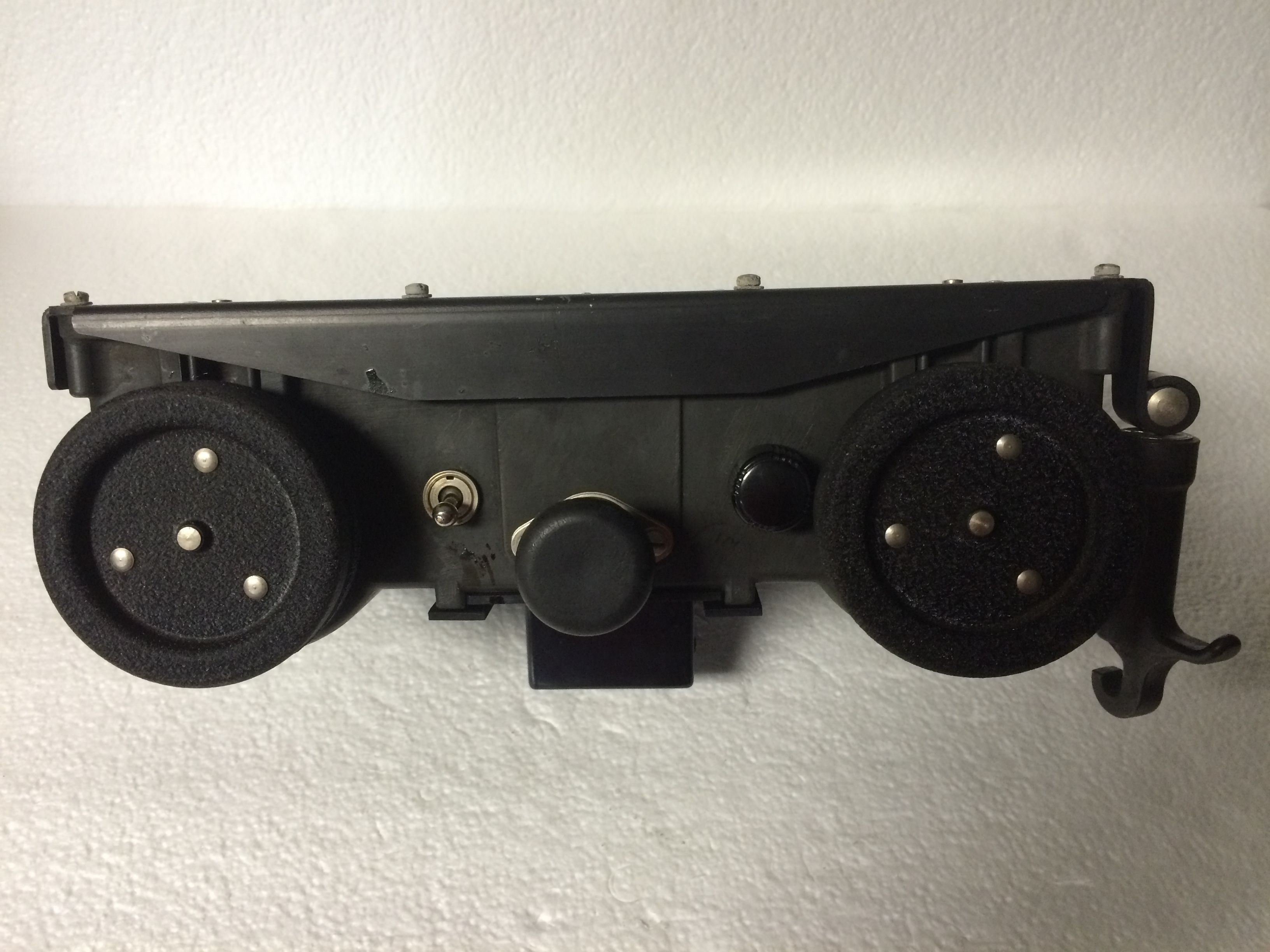
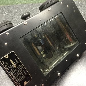
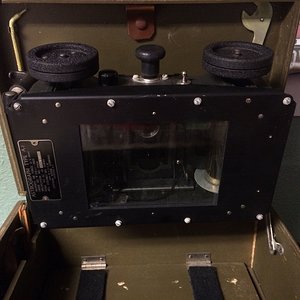
Close up of the film advancement knobs and rheostat. This side would face the navigator as it is installed at a height (using the included height gauge) above the nav table. The sky image is projected onto the map of the territory, and advanced until the correct alignment of the sky and ground location is achieved.
Media information
Image metadata
- Device
- Apple iPhone 5s
- Aperture
- ƒ/2.2
- Focal length
- 4.2 mm
- Exposure time
- 1/30 second(s)
- ISO
- 160
- Flash
- Auto, did not fire
- Filename
- IMG_6098.JPG
- File size
- 1.3 MB
- Date taken
- Tue, 20 September 2016 7:05 PM
- Dimensions
- 3264px x 2448px

