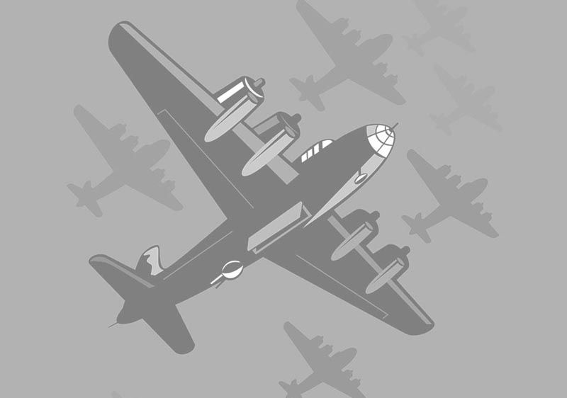
Here is an amazing link for B 17 crash sites. Open you will get a busy overlay of spots, just expand the screen and the dots will separate and make sense.
For example go out of Dresden on appx. 200* heading to the Czech border and there will be a blue (B17 G) dot, about a 350* heading out of
Chomutov, CR. Click on blue dot 42-31188, DEAD MAN'S HAND and it will open info on that a/c. This is a remarkably well researched link.
 b17flyingfortress.de
Also below is the link to a museum in CR with identifiable debris from that airplane
For example go out of Dresden on appx. 200* heading to the Czech border and there will be a blue (B17 G) dot, about a 350* heading out of
Chomutov, CR. Click on blue dot 42-31188, DEAD MAN'S HAND and it will open info on that a/c. This is a remarkably well researched link.
Map of B-17 crash sites | B-17 Bomber Flying Fortress – The Queen Of The Skies
Crash sites of B-17 bombers. This map includes not only the crashes in World War II, but all the time since the B-17 has been flying. The markings are mainly based on the data in the MACR or the German KU-Report. A special feature are the purple markers. These mean that also the approximate...
b17flyingfortress.de
Also below is the link to a museum in CR with identifiable debris from that airplane